High Barnet Place
High Barnet, London EN5 5RP
Client
TTL High Barnet Properties Limited, London Underground Limited, Places for London Limited, and BDW Trading Limited
Architects
JTP Architects & Masterplanners
Location
High Barnet, London EN5 5RP
Visualisation Scope
Type 4 AVR Level 1 (Wireline) & Type 4 AVR Level 3 (Photorealistic Render)
Project Overview
High Barnet Place is a residential-led brownfield redevelopment situated on a 1.45-hectare linear site adjacent to High Barnet Underground Station within the London Borough of Barnet. Submitted under planning application reference 25/2671/FUL, the scheme involves the demolition of existing surface car parking, self-storage containers, and industrial structures to enable the construction of 283 residential units (Use Class C3) alongside 609 square metres of flexible commercial space (Use Class E). Designed by JTP Architects and Masterplanners on behalf of a joint venture comprising TTL High Barnet Properties Limited, London Underground Limited, Places for London Limited, and BDW Trading Limited (Barratt London), the masterplan introduces five distinct building blocks (Buildings A to E) ranging in height from 4 to 11 storeys.
The development responds to significant site topography along the northern slope of the Dollis Valley, where ground elevations decline from 116.7 metres Above Ordnance Datum (AOD) at the north-western boundary to approximately 98.0 metres AOD toward the south-east. Building A (The Prow) forms an 11-storey northern anchor adjacent to the station entrance, featuring a triangular footprint and an articulated brick crown. Heights step down across the central link structures (Buildings B, C, and D) to the 8-storey Building E (The Gateway) at the southern terminus. Landscape architecture by Levitt Bernstein integrates a new public Station Square, an upgraded woodland pedestrian path, and extensive street tree planting along the Barnet Hill (A1000) corridor.
Planning and Heritage Context
The site is allocated for mixed-use redevelopment under Site Allocation 37 of the Barnet Local Plan 2021-2036 (adopted March 2025) and aligns with London Plan (2021) Policies H1, D3, and D9 regarding brownfield intensification and tall building design. While the application site contains no statutory heritage designations, it directly adjoins the locally listed Victorian High Barnet Station building and lies 220 metres south-east of the Wood Street Conservation Area. Additional surrounding heritage receptors include the Grade II* Listed Church of St John the Baptist, the Grade II Listed Tudor Hall, the Grade II Listed Everyman Cinema, and the Grade II Listed Church of St Mark. To evaluate potential townscape and visual effects across sensitive heritage Receptors and locally identified view cones - including View 4 from King George's Fields - a comprehensive Townscape and Visual Appraisal (TVA) was prepared by Lichfields, supported by verified visual representations.
Eye-kon's Involvement
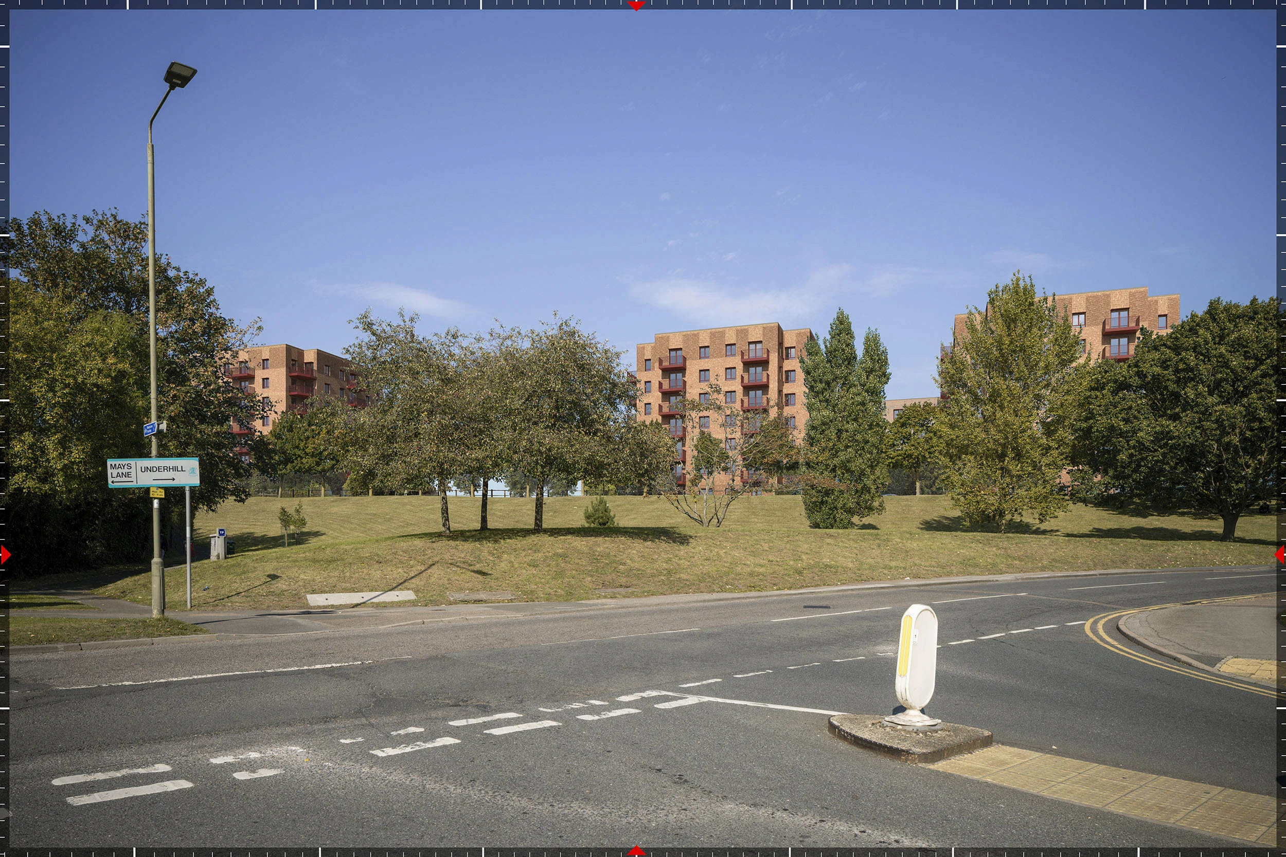
Eye-kon was commissioned to produce a comprehensive suite of verified views across 18 key representative viewpoints to support the Townscape and Visual Appraisal (TVA) and Heritage Impact Assessment. The deliverable scope encompassed both Type 4 Accurate Visual Representations (AVR Level 1 Wireline profiles) and fully rendered photorealistic visualisations (AVR Level 3) capturing both summer (in-leaf) and winter (bare-branch) seasonal conditions.
Methodology and Production Process
1 | Field photography and survey control High-resolution baseline photography was captured using a full-frame digital camera equipped with a 24mm tilt-shift lens and 50mm fixed focal length lens. The camera apparatus was mounted on a levelled tripod at a standardised eye-level height of 1.65 metres above ground level. Fieldwork was conducted during optimal weather conditions in October 2024 (summer baseline) and January 2025 (winter worst-case baseline). Simultaneously, a specialist land survey team established control points using a total station and sub-centimetre GNSS positioning equipment, recording 15 to 25 physical reference points per view referenced to the Ordnance Survey National Grid (OSGB36) and Ordnance Datum Newlyn.
2 | Digital 3D modelling and spatial alignment Architectural CAD models provided by JTP and landscape geometry from Levitt Bernstein were imported into 3ds Max. To prevent floating-point calculation errors inherent in handling large coordinate values, scene origins were translated using a defined local coordinate offset while preserving absolute Ordnance Survey alignment. Virtual cameras were calibrated within 3ds Max using a proprietary resection process that matched the precise focal length, principal point, pan, tilt, and roll of the physical camera setup. Alignment accuracy was verified against surveyed spatial control points, ensuring maximum mathematical displacement remained below a 2-pixel threshold across all frames.
3 | Lighting synthesis and material calibration Environmental lighting was established using a V-Ray Sun and Sky system calibrated to match the exact solar altitude, azimuth, and time-of-day timestamp embedded in the camera EXIF metadata. Physical material shaders were assigned to reflect the proposed architectural palette, including red and orange primary facing brickwork, contrasting lighter red brick accents, Glass Reinforced Concrete (GRC) base details, horizontal corduroy brick banding, and powder-coated green and brick-toned metal balcony balustrades. Atmospheric haze and distance attenuation were adjusted to replicate atmospheric conditions present in the baseline photography.
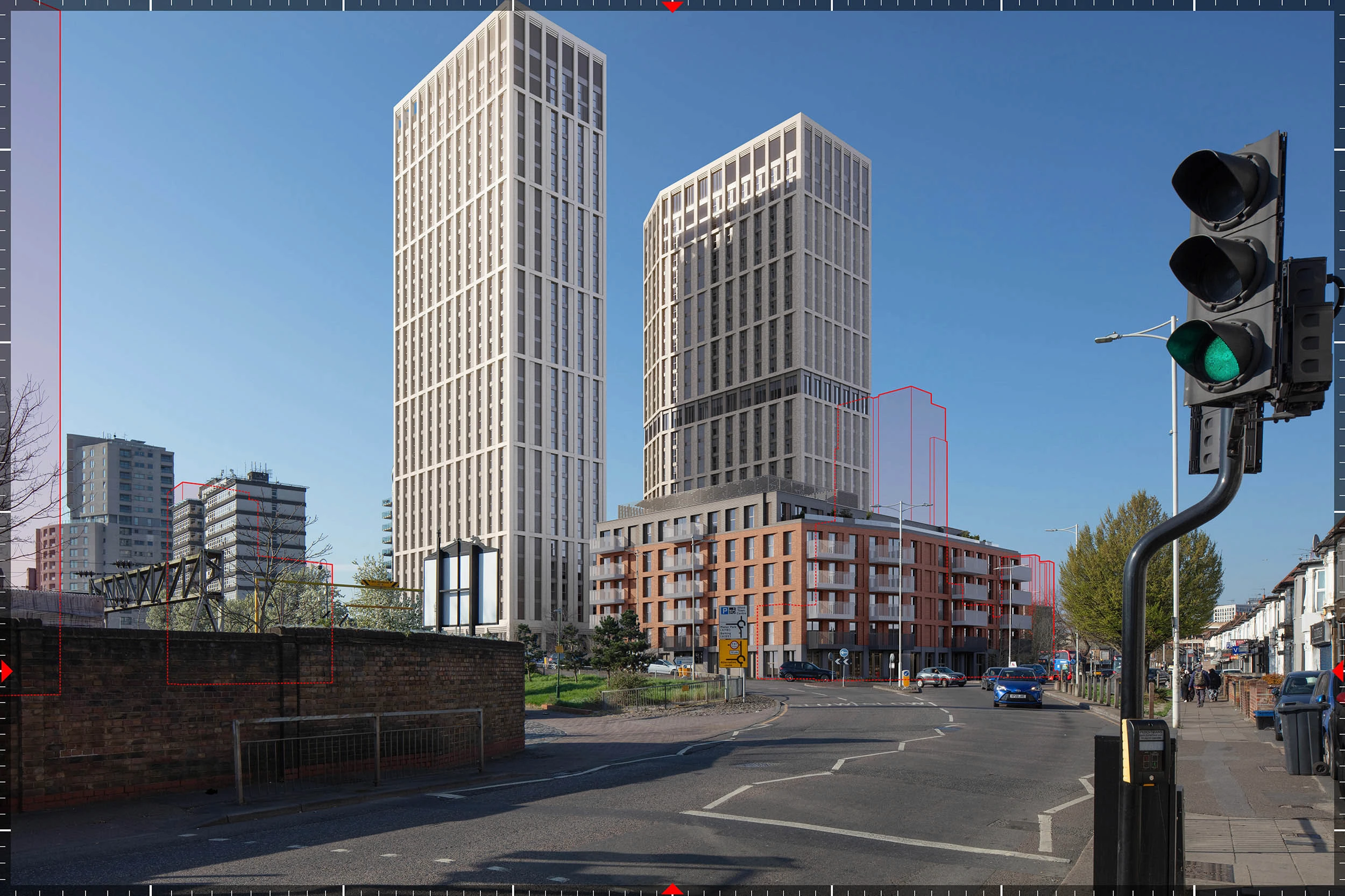
4 | Visualisation delivery and cumulative integration Rendered 3D outputs were composited into raw photographic baselines in Adobe Photoshop following Landscape Institute TGN 06/19 standards. Ground clipping, intervening vegetation, street furniture, and boundary structures were masked with sub-pixel precision. AVR Level 1 deliverables established the precise scale and massing envelope via wireline outlines, while AVR Level 3 deliverables provided photorealistic material fidelity for immediate and mid-range street-level assessments. The completed visualisations demonstrated that the proposed building envelopes are appropriately scaled, visually separated by stepping massing, and effectively softened by existing and proposed tree canopies.
Technical Summary
Parameter | Project Specifications |
Site Location | High Barnet Station, Barnet Hill, High Barnet, London EN5 5RP |
Proposal | Redevelopment providing 283 residential units and 609 sqm flexible commercial space across 5 buildings (4 to 11 storeys) |
Architect | JTP Architects & Masterplanners |
Client | TTL High Barnet Properties Ltd, LUL, Places for London Ltd, BDW Trading Ltd |
Townscape / Planning Consultancy | Lichfields (Townscape & Heritage) / Avison Young (Planning) |
Highest Point AOD | Site topography ranges from +116.7m AOD (NW) to +98.0m AOD (SE) |
Total Viewpoints Assessed | 18 representative public viewpoints |
AVR Deliverable Levels | Type 4 AVR Level 1 (Wireline) & Type 4 AVR Level 3 (Photorealistic Render) |
Key Heritage Receptors | High Barnet Station (Locally Listed), Wood Street Conservation Area, St John the Baptist Church (Grade II*) |
Technical Guidance | LI TGN 06/19, GLVIA3 (2013/2024), London Plan Policy D9 |