Why UK Planning Requires a 50mm Lens for Verified Views
If you are submitting a planning application for a major development or sensitive urban scheme, your townscape consultant will likely ask for Verified Views (or Accurate Visual Representations / AVRs).
When reviewing the specification, you will almost certainly see a requirement for photography shot on a 50mm lens. To developers and project managers, this can sound like unnecessary technical nitpicking. Why does a specific focal length matter so much to planning officers, inspectors, and local councils?
1 | What the UK Guidelines Say About Lens Selection
UK planning frameworks don't leave camera choices up to personal preference. The rules governing visual evidence are strict and standardized across the industry.
Landscape Institute Guidance (TGN 06/19): Sets a 50mm prime lens on a 35mm full-frame sensor as the baseline standard for single-frame planning imagery. It provides a consistent, mathematically sound field of view that planning authorities can review predictably.
London View Management Framework (LVMF): Emphasizes standardized optics to ensure that views of strategic monuments and historic skylines are presented transparently without visual distortion.
The No-Zoom Rule: Guidelines strictly forbid zoom lenses for Verified Views. Fixed focal length (prime) lenses are mandatory because they eliminate "zoom creep" (accidental focal length shifts) and offer far superior optical accuracy.
Key Takeaway: Using a standard 50mm setup creates an "apples-to-apples" comparison across different developments, giving planning officers a benchmark they can trust.
2 | Real-World Site Reality: What Happens When You're Too Close?
While the 50mm lens is the theoretical benchmark, real-world UK development sites rarely offer perfect viewing distances.
In constrained urban settings—such as narrow streets, infill sites, or when standing directly opposite a proposed tall building—a single 50mm frame is too narrow to capture the site boundary or roofline. In these practical scenarios, guidelines allow two specific workarounds:
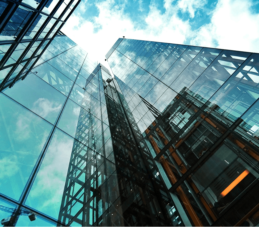
Specialist Tilt-Shift Lenses (24mm or 28mm): Photographers step down to fixed wide-angle tilt-shift prime lenses. These capture the full height of a building without tilting the camera upward (which creates severe "converging verticals" where buildings look like they are falling backward).
Panoramic Stitching (Multi-Frame 50mm): Photographers take a sequence of overlapping 50mm shots from a single, fixed tripod head and stitch them together using specialized software. This maintains the natural scale of a 50mm lens while providing a wider field of view.
The Rule for Deviating: Any departure from the standard single-frame 50mm setup must be explicitly documented in the photographer's methodology statement so the townscape consultant can declare it transparently in their report.
3 | Myth vs. Reality: Does 50mm Mirror Human Sight?
It is a common myth in property development that a 50mm lens shows "exactly what the human eye sees." In reality, it doesn't.
Human vision is dynamic—we constantly scan our surroundings, shift focus, and process peripheral motion. A static photo cannot recreate that. Instead, a standard 50mm lens is chosen for two specific reasons:
Natural Scale at Arm's Length: When a single 50mm image is printed at standard size (A3) and held at a natural reading distance (around 50cm), the relative scale and depth between foreground and background objects feel natural to the human brain.
Minimal Optical Distortion: Wide-angle lenses stretch building edges, and telephoto lenses flatten depth perception. A 50mm prime lens provides a neutral image that prevents accusations of "misleading" the committee.
4 | Why Precision Requires More Than Just a Camera Lens
A detail that surprises many non-photographers is that a lens labelled "50mm" is rarely exactly 50.0mm.
Due to manufacturing tolerances, a commercial lens might actually measure 49.3mm or 50.7mm. In everyday photography, this difference is invisible. In verified planning views, however, it means a camera lens alone cannot guarantee accuracy.
To make a view legally robust, the photographer must work alongside land surveyors who record high-precision GPS/GNSS coordinates and ground control points. This allows 3D artists to calibrate the camera and align the virtual building model perfectly with the real-world photograph.
5 | What You Are Paying For: Expert Workflow vs. "Just Photography"
Because developers rely on professional visualization teams to manage site photography, you aren't just paying for someone to click a shutter. You are paying for an auditable, legally defensible process:
Rigid Technical Setup: We shoot from heavy, precision-leveled tripods using locked manual exposures. This guarantees that every photo aligns perfectly with the surveyor’s ground data.
Controlled Optical Performance: We select lenses specifically for corner-to-corner sharpness and low distortion. In verified views, context buildings sitting at the very edge of the frame are just as critical as the proposal in the center.
On-Site Weather Management: UK weather is notoriously unpredictable. We monitor site conditions to ensure photos are captured in clean, daylight conditions with clear visibility—avoiding fog or rain that obscures site context.
Full Audit Trail: Every image captured comes with metadata, camera height logs, and a formal photography methodology statement that your townscape consultant appends directly to their final report.
Summary: Protecting Your Application Against Challenge
At a planning committee or public inquiry, objectors often attack visual evidence. If a photograph looks stretched, compressed, or imprecise, the townscape report can be discredited.
By adhering strictly to UK guidance for baseline photography paired with verified surveyor data, your scheme's visuals remain transparent, defensible, and ready to stand up to scrutiny.